
Choose the target on the map
Besides Mt. Fuji and the registered skyscrapers, you can use any mountain or place as the target (the mountain or building the sun or moon lines up with) by tapping it on the map.
This article uses “Diamond Tsukuba”, seen from the Hakojima retarding basin in Chikusei, Ibaraki, as an example. The morning sun rises in the dip between the two peaks of Mt. Tsukuba, Mt. Nantai and Mt. Nyotai.
As an example, we assume you are at the edge of the pond in the Hakojima retarding basin and start from “Where I am now”. Choosing the observer works the same as in Find when you can see Diamond Fuji from where you are and Choose the observer on the map.
-
Press “Start the easy calculation” and choose the observer. Here, we answer “Where I am now” and then “On the ground”.
-
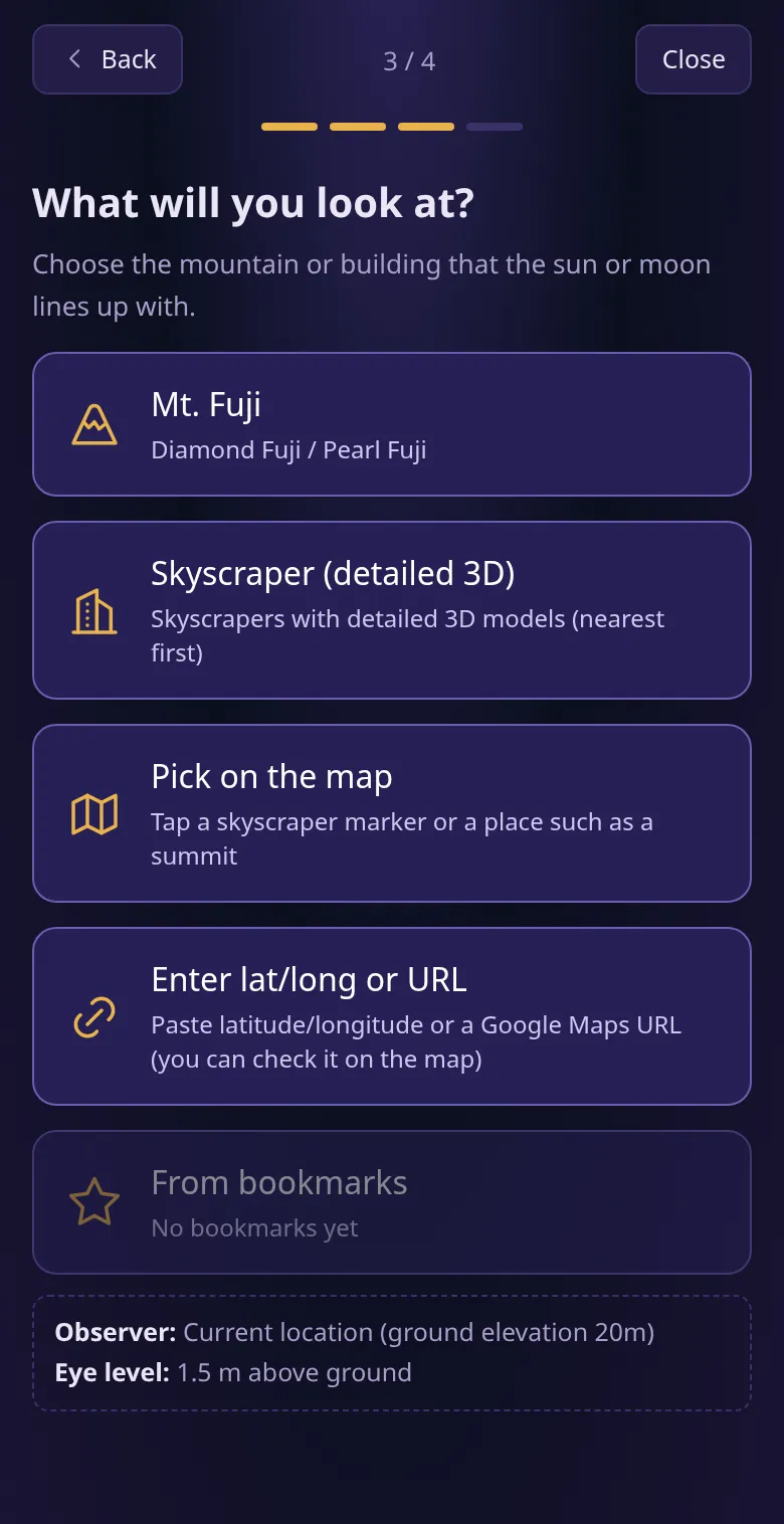
Under “What will you look at?”, press “Pick on the map”.
-
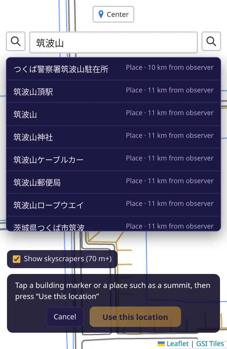
The map opens full screen. Press the magnifying glass button at the top left and search for “筑波山” (Mt. Tsukuba; place names are searched in Japanese). Press “筑波山” in the list, and the map moves to Mt. Tsukuba.
-
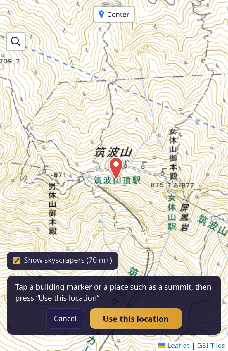
Zoom out so that you can see both peaks, Mt. Nantai (871 m) and Mt. Nyotai (877 m). Tap between the two peaks, and a red pin is placed there. When the position is right, press “Use this location”.
-
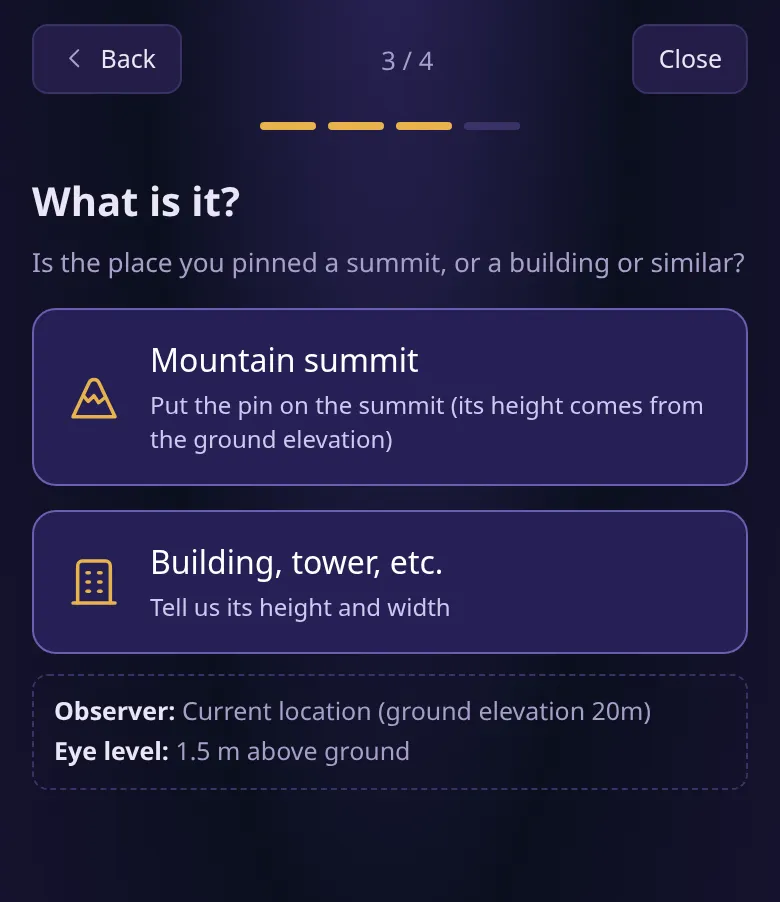
Under “What is it?”, press “Mountain summit”. The height of the mountain is filled in automatically from the elevation of that place (data of the Geospatial Information Authority of Japan). For a building or tower, choose “Building, tower, etc.” and answer its height and width.
-
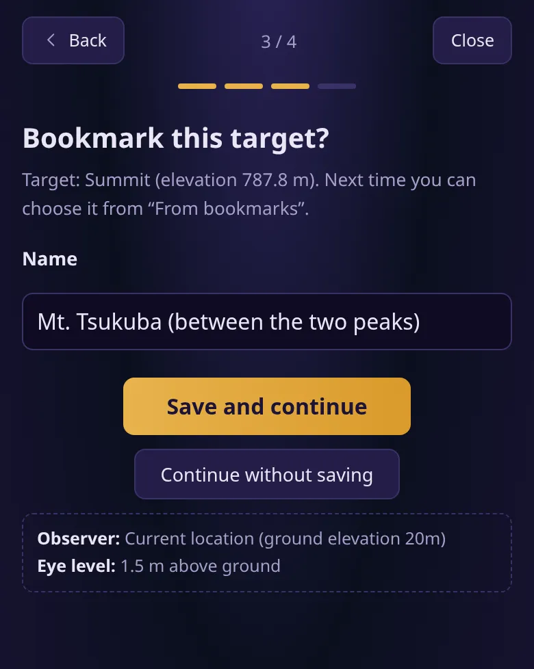
You are asked “Bookmark this target?”. Here, we enter “Mt. Tsukuba (between the two peaks)” and save it. Next time, choose “From bookmarks” under “What will you look at?” to call it up.
-
Press “Diamond” under “Sun or moon?”, and the calculation starts.
Results
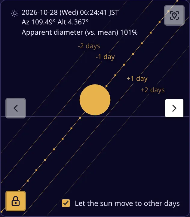
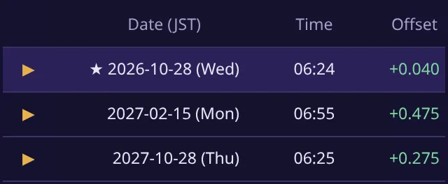
Section titled “Results”In the Hakojima example, the sun lines up with the dip between Mt. Nantai and Mt. Nyotai at about 6:24 on October 28, 2026.
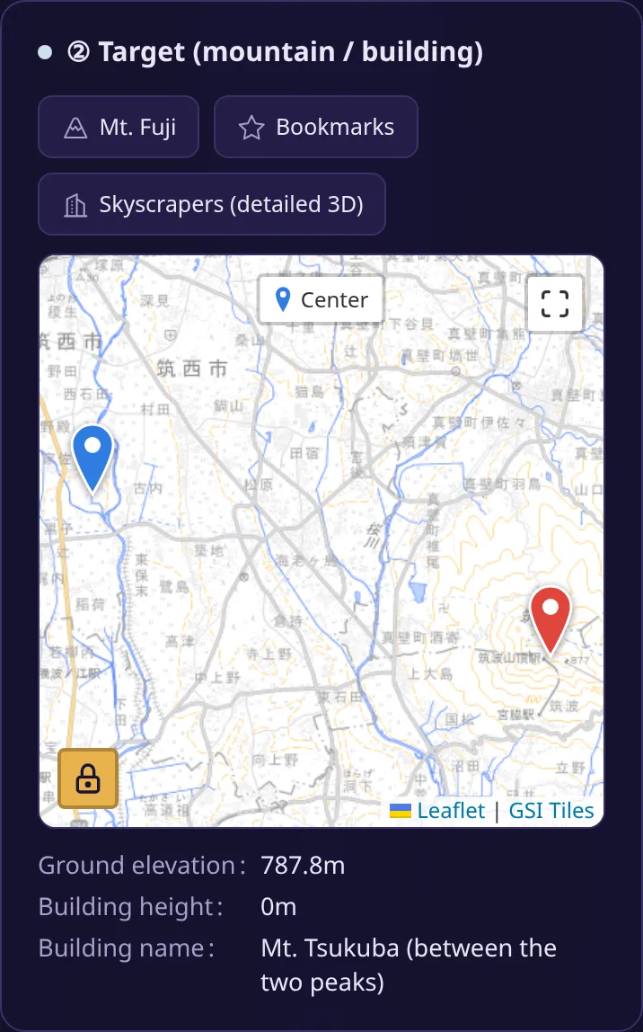
In the “② Target (mountain / building)” panel, you can check the ground elevation below the map. Because we chose “Mountain summit”, the building height is 0 m, and the ground elevation (787.8 m) is used as the height of the target.
In the result view, a target chosen on the map has no shape data, so it is shown as a small cross.
Troubleshooting
Section titled “Troubleshooting”- A building is chosen instead of the mountain: Tapping a skyscraper marker on the map chooses that building. Tap a spot without a marker.
- You can’t tell where the summit is: Zoom in, and the elevation of the summit (such as “・871”) appears on the map. Tap that point.
Summary
Section titled “Summary”Choose “Pick on the map” under “What will you look at?” to use a place you tap on the map as the target. Choose “Mountain summit” for a mountain, or “Building, tower, etc.” for a building or tower.